
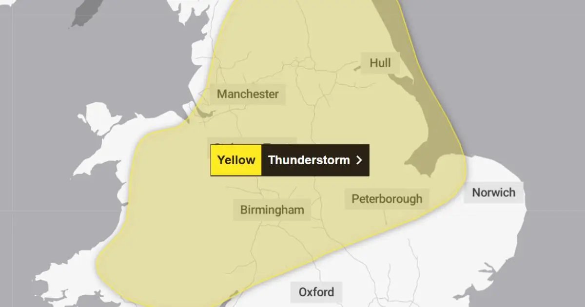
ANOTHER yellow thunderstorm warning has been issued for Worcestershire with heavy rain, lightning and possible flooding expected to cause disruption.
The Met Office has issued the weather warning for today (Friday) after revealing more short periods of heavy rainfall are on the way.
The warning is in place from 12am to 9pm today.
READ MORE: Worcestershire weather warning and power cuts after rainfall
It follows Worcestershire experiencing flash flooding and power cuts yesterday (Thursday) due to a thunderstorm.
A spokesperson for the Met Office said: “While many areas will miss the heaviest downpours, heavy showers and thunderstorms are expected to develop during Friday afternoon and evening.
“The focus of showers and thunderstorms will be northern England and much of Wales during the early afternoon before extending over central and eastern England through the afternoon.
READ MORE: “Unpredictable” rain forecast could put homes at risk of flash flooding, expert warns
“Thunderstorms will bring 10-20 mm of rain in a short period in a few places, with 30-40 mm possible should anywhere see repeated downpours.”
What is the weather looking like this August Bank Holiday?
The Met Office has forecast rain on both Saturday (August 29) and Sunday (August 30).
Worcester is expected to see rain from 7am to 7pm on Saturday, while more showers are likely from 12pm on Sunday until 2am on Monday.
